Why in news?
The Ministry of Road Transport and Highways (MoRTH) plans to release real‑time data on accident‑prone stretches of national highways for 2023 and 2024 using its Electronic Detailed Accident Report (e‑DAR) and Integrated Road Accident Database (iRAD) systems. This digital push aims to reduce the high number of road deaths in India.
Background
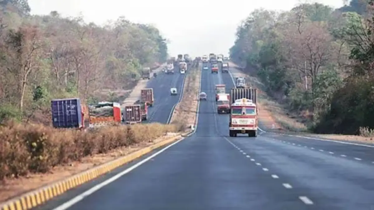
India accounts for the highest number of road fatalities globally. Traditional methods of identifying “black spots” relied on state‑reported data that often lagged by years. The e‑DAR/iRAD system, rolled out in 2021–22, allows police officers at accident sites to upload geo‑tagged data through a mobile app. Each accident receives a unique ID and details are shared in real time with engineers and administrators.
How the system works
- Real‑time reporting: First responders record location, photos and cause of the crash on a handheld device; the data is instantly stored on a central server.
- Black spot identification: A 500‑metre stretch is classified as a black spot if it has at least five accidents involving fatalities or grievous injuries, or 10 deaths in three years.
- Data validation: The Transport Research Wing cross‑checks e‑DAR data with state records; discrepancies have been reduced to under 5 percent.
- Rectification efforts: Between 2016 and 2022 more than 13,795 black spots were identified on national highways; long‑term fixes have been completed on 5,036 stretches.
Significance
- Targeted interventions: Accurate, timely data enables engineers to prioritise dangerous stretches for redesign, signage, lighting and speed control.
- Streamlined compensation: Linking e‑DAR data with insurance and FASTag systems can speed up claims and provide timely assistance to victims.
- Data‑driven safety policies: Transparent statistics will help policymakers set measurable goals under the National Road Safety Action Plan.
Sources: Indian Express – India

